Understanding Raster and Vector Data Formats in GIS
Geographical Information Systems (GIS) are crucial for analyzing spatial data across various applications, from urban planning to environmental management. At the core of GIS is the representation of geographical data, and two primary formats for this are raster and vector. Each format serves specific purposes and has distinct characteristics that make it suitable for different types of spatial analysis.
Raster Data Format in GIS
Raster data format is used in GIS to represent phenomena that vary continuously across space, such as elevation, temperature, and precipitation levels. This format represents data as a grid of cells, or pixels, where each cell holds a specific value. Raster data is well-suited for spatial analysis that requires the examination of large, continuous areas. For example, in climate modeling, raster files are utilized to analyze temperature and precipitation patterns over large landscapes.
Advantages and Disadvantages of Raster Data
The primary advantage of raster data is its simplicity and compatibility with mathematical modeling and analysis, especially in contexts like remote sensing. However, it can be memory-intensive due to its potentially high resolution. Furthermore, raster data may not be as effective in representing discrete features such as roads or property boundaries, where vector data formats are more appropriate.
Vector Data Format in GIS
Vector data format represents geographical features with distinct boundaries using points, lines, and polygons. This format is ideal for representing features such as roads, buildings, and political boundaries. Vector data is highly desirable for applications requiring detailed and precise boundary definitions, such as cadastral mapping and infrastructure design.
Flexibility and Precision of Vector Data
Vector data offers flexibility and precision in depicting real-world features. It supports topological relationships, enabling complex spatial analyses such as network analysis and proximity calculations. Despite its advantages, vector data can be complex to manage and requires substantial computational power for rendering detailed geometric shapes.
Applications and Integration of Raster and Vector Formats
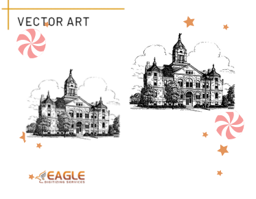
While both raster and vector formats have distinct uses, they often complement each other in applications like Environmental Impact Assessments (EIA) and urban planning. GIS platforms typically support both formats, allowing users to overlay vector data such as infrastructure networks on top of raster data like satellite imagery, thereby combining the strengths of both. Technologies like raster to vector conversion services facilitate this integration by converting pixelated raster images into scalable vector formats.
The Role of Eagle Digitizing in Vector Services
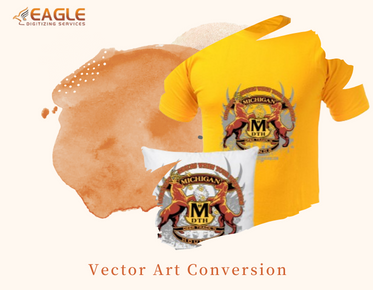
Eagle Digitizing offers specialized vector services that enable organizations to convert raster images into clean and scalable vector graphics. Their services include raster to vector conversion, vector tracing, and vector logo design, which are crucial for businesses involved in screen printing, signage, and digital embroidery. Eagle Digitizing caters to a wide range of clients, from small businesses to large-scale industries, providing high-quality and precise vector file formats suitable for various applications.
Future Implications of GIS Data Formats
As GIS technologies continue to evolve, the role of raster and vector data formats will expand in supporting more advanced spatial analyses. With the increase in computational power and storage capabilities, the integration of both formats will likely become more seamless, enabling more dynamic and real-time applications in smart city development, automated navigation, and environmental monitoring.


